Registration of undocumented land plots will be completed
Local
−
19 October 2022 36922 2 minutes

The Cadastre Agency maintains a public geoportal based on open data in the National Geoinformation System and it will be launched by 1 January 2023. This was stated in the decision of the Cabinet of Ministers "On measures to ensure transparency in the accounting of rights to real estate, as well as to improve some administrative procedures in the field of cadastre", adopted yesterday 18 October.
According to the decision, the preparation of the cadastral collection of real estate objects is carried out electronically only through the information system.
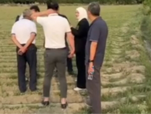
By 1 January 2024, the formalization of land plots, which are currently being used by state bodies and organizations, as well as self-government bodies of citizens, but the decision on land allocation has not been made, will be completed.
By the end of 2022, it will be ensured that the competent bodies maintaining state cadastres will fully integrate their databases into the information system.
Cadastral engineers with a qualification certificate pay a monthly fee of one time the BHM for the use of the information system.
Open data is provided free of charge to public administration bodies, individuals, business associations, and other legal entities for a fee through the public geoportal.
Users can obtain information about the cadastral number of the land plot in the state register of rights to real estate, its address, and the purpose of its use free of charge.

Live
All